

NGA
- North America
- Central, South America
- Western Africa, Mediterranean, Black Sea
- Eastern Africa, Southern Asia
- Australia, New Zealand, Indonesia, Papua New Guinea
- South Pacific Islands
- Eastern Asia, South Eastern Russia, Philippines
- Other Regions
Canadian
Caribbean and Mediterranean
Norwegian
SHOM
SEMAR
U.S.
Search by chart title, key word or chart number:
SEMAR Charts
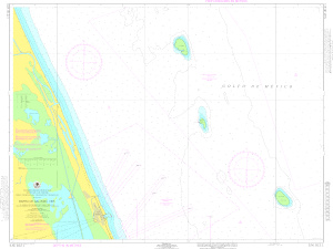 Explore the coasts of Mexico
Navigate the coasts of Mexico and its popular vacation and fishing destinations with SEMAR charts. SEMAR charts produced by the Official Mexican Hydrographic Office (SEMAR - Secretaría de Marina Armada de México) provide mariners with accurate navigation information for the Pacific, Gulf, and Caribbean coasts of Mexico.
SEMAR charts are available here:
I need a chart for U.S. waters

©2025 Nautical Charts Online, All Rights Reserved.