

NGA
- North America
- Central, South America
- Western Africa, Mediterranean, Black Sea
- Eastern Africa, Southern Asia
- Australia, New Zealand, Indonesia, Papua New Guinea
- South Pacific Islands
- Eastern Asia, South Eastern Russia, Philippines
- Other Regions
Canadian
Caribbean and Mediterranean
Norwegian
SHOM
SEMAR
U.S.
Search by chart title, key word or chart number:
Small Craft Chart Books
The Small Craft Chart Booklets are cancelled. The last edition released remain here for reference purposes only.
Please use the NOAA Custom Chart Creator HERE to create your own chart of your area.
Upload your finished pdf for printing HERE.
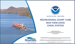
SMALL-CRAFT BOOK CHART New York State Canal System (book of 61 Charts)
Chart#: 14786View Details
$35.00
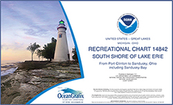
SMALL-CRAFT BOOK CHART - Port Clinton to Sandusky, including the Islands (book of 35 charts)
Chart#: 14842View Details
$35.00
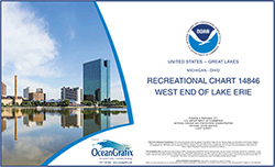
SMALL-CRAFT BOOK CHART - West End of Lake Erie from Perrysburg, OH., of the Maumee R. to Huron R., Mich., and Bar Pt., Ont. (book of 34 charts)
Chart#: 14846View Details
$35.00
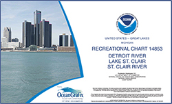
SMALL-CRAFT BOOK CHART - Detroit River, Lake St. Clair and St. Clair River (book of 47 charts)
Chart#: 14853View Details
$35.00
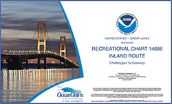
SMALL-CRAFT BOOK CHART - Inland Route, Cheboygan to Conway (book of 12 Charts)
Chart#: 14886View Details
$35.00
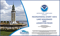
SMALL-CRAFT BOOK CHART - Lake Winnebago and Lower Fox River (book of 34 charts)
Chart#: 14916View Details
$35.00
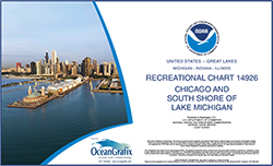
SMALL-CRAFT BOOK CHART - Chicago and South Shore of Lake Michigan (book of 30 charts)
Chart#: 14926View Details
$35.00


©2026 Nautical Charts Online, All Rights Reserved.