NGA Print-on-Demand Charts for International Waters
 Nearly 1,000 charts worldwide
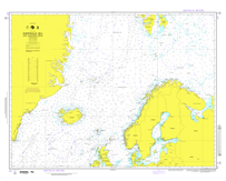
National Geospatial-Intelligence Agency charts, or NGAs, provide commercial and recreational mariners with navigational information for international waters. OceanGrafix charts serve as a valuable complement to electronic systems — and critical back up when the unexpected happens.
NGA Print-on-Demand Charts are available for the following areas:
- North America
- Central, South America
- Western Africa, Mediterranean, Black Sea
- Eastern Africa, Southern Asia
- Australia, New Zealand, Indonesia, Papua New Guinea
- South Pacific Islands
- Eastern Asia, South Eastern Russia, Philippines
- Other Regions


