NOAA Charts
NOAA Charts Starting at $27
Get your sailor season-ready with up-to-date charts for 2022. Printed on-demand, NOAA charts include the latest changes to every port in North America, so you can give peace of mind to your boater on their 2022 voyages.
Choose from more than 1,100 charts spanning the islands of the Gulf, the ports around Niagara, and harbors from coast to coast, including these favorite trips:
- Florida Keys' tropical climate and clear waters
- New England's historical harbors and landmarks
- Prince Williams Sound's fantastic wildlife sightings
- California's marina hopping from San Fran on down the coast

Frame It!
Does your boater have a favorite destination? Nautical Charts Online can also frame any NOAA chart for a personal and memorable gift.
Browse NOAA Charts by Region
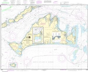
ATLANTIC COAST
250+ Charts
Areas of Interest: Cape Canaveral, St. Johns River, Chesapeake Bay, Nantucket, Martha's Vineyard
BROWSE ATLANTIC COAST CHARTS
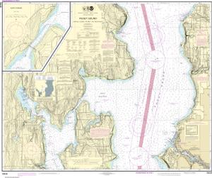
PACIFIC COAST
200+ Charts
Areas of Interest: Puget Sound, Columbia River, Monterrey Bay, San Diego, Lake Tahoe, Hawaii
BROWSE PACIFIC COAST CHARTS
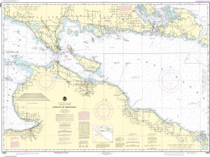
GREAT LAKES
100+ Charts
Areas of Interest: Beaver Island, Mackinac Island, Saugatuck Harbor, Michigan City, Apostle Islands
BROWSE GREAT LAKES CHARTS
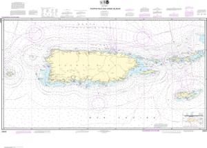
GULF COAST
150+ Charts
Areas of Interest: Corpus Christi, New Orleans Harbor, Puerto Rico, Virgin Islands, Florida Keys
BROWSE GULF COAST CHARTS

ALASKA COAST
240+ Charts
Areas of Interest: Prince William Sound, Arctic Coast, Glacier Bay, Holkham Bay and Tracy Arm
BROWSE ALASKA COAST CHARTS
PRINTING OPTIONS
Your gift can be printed in the following formats:
- Water Resistant: Printed on water resistant paper. Delivered in a rolled format.
- Waterproof: Printed on fully waterproof synthetic material. Delivered in a rolled format.
- Tyvek®: Printed on a durable, foldable, water- and tear-proof material.
- Trifold: Comes as a convenient 7" x 12" trifold. Length varies by chart number.
BROWSE NOAA CHARTS


