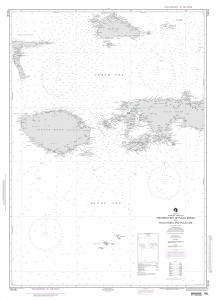
NGA Nautical Chart 73018
Western Part of Pulau Seram with Pulau Buru and Pulau Obi

Per NGA: charts in this region cannot be viewed
Scale: 500000
Actual Chart Size: 33.6" x 46.4"
Paper Size: 36.0" x 48.0"
Edition #: 3
Edition Date: 1998-02-14
NTM Notice/Date: 199818 None
NTM: https://msi.nga.mil
NTM = NGA Notice to Mariners
The chart you are viewing is printed by OceanGrafix using the most recent data provided by the National Geospatial-Intelligence Agency (NGA). This NGA data may no longer be current and you should consult the "Corrected through NM ##/##" note in the margin of the chart for additional information and apply all Notice To Mariners corrections that have been issued subsequently.


