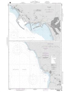
NGA Nautical Chart 51225
Agadir and Approaches
Scale: 50000
Actual Chart Size: 27.8" x 44.2"
Paper Size: 36.0" x 46.0"
Edition #: 3
Edition Date: 1998-09-19
NTM Notice/Date: 199852 None
NTM: https://msi.nga.mil
NTM = NGA Notice to Mariners
The chart you are viewing is printed by OceanGrafix using the most recent data provided by the National Geospatial-Intelligence Agency (NGA). This NGA data may no longer be current and you should consult the "Corrected through NM ##/##" note in the margin of the chart for additional information and apply all Notice To Mariners corrections that have been issued subsequently.


