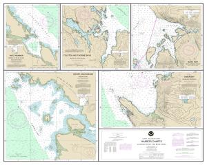
NOAA Nautical Chart 17423DECOR
Harbor Charts-Clarence Strait and Behm Canal Dewey Anchorage, Etolin Island;Ratz Harbor, Prince of Wales Island;Naha Bay, Revillagigedo Island;Tolstoi and Thorne Bays, Prince of Wales ls.;Union Bay, Cleveland Peninsula
High-Quality Prints
Not For Navigational Use
Actual Chart Size: 30.0" x 24.0"
These prints are resized, frameable versions of your favorite nautical charts. They're crafted on high-quality, resin-coated photo paper with a pearl finish and peel-away adhesive backing if needed. Charts have exceptional color range, are fade resistant and are scaled to meet standard framing sizes.


