

Shop by Region
NGA
- North America
- Central, South America
- Western Africa, Mediterranean, Black Sea
- Eastern Africa, Southern Asia
- Australia, New Zealand, Indonesia, Papua New Guinea
- South Pacific Islands
- Eastern Asia, South Eastern Russia, Philippines
- Other Regions
Canadian
Caribbean and Mediterranean
Norwegian
SHOM
SEMAR
U.S.
Search by chart title, key word or chart number:

Small Craft Chart Books
Perfect in Tight Quarters
Specially designed for easy reference and plotting in limited spaces, these NOAA-approved charts are arranged in spiral-bound booklets. Because they’re produced by OceanGrafix, they are printed at the time they are ordered and fully up to date.
Browse our small craft chart books below!
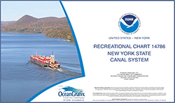
SMALL-CRAFT BOOK CHART New York State Canal System (book of 61 Charts)
Chart#: 14786View Details
$35.00
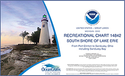
SMALL-CRAFT BOOK CHART - Port Clinton to Sandusky, including the Islands (book of 35 charts)
Chart#: 14842View Details
$35.00
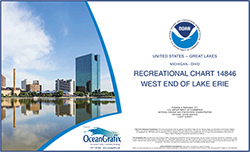
SMALL-CRAFT BOOK CHART - West End of Lake Erie from Perrysburg, OH., of the Maumee R. to Huron R., Mich., and Bar Pt., Ont. (book of 34 charts)
Chart#: 14846View Details
$35.00
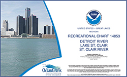
SMALL-CRAFT BOOK CHART - Detroit River, Lake St. Clair and St. Clair River (book of 47 charts)
Chart#: 14853View Details
$35.00
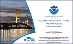
SMALL-CRAFT BOOK CHART - Inland Route, Cheboygan to Conway (book of 12 Charts)
Chart#: 14886View Details
$35.00
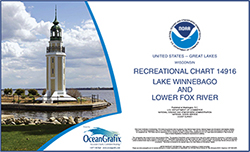
SMALL-CRAFT BOOK CHART - Lake Winnebago and Lower Fox River (book of 34 charts)
Chart#: 14916View Details
$35.00
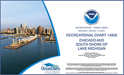
SMALL-CRAFT BOOK CHART - Chicago and South Shore of Lake Michigan (book of 30 charts)
Chart#: 14926View Details
$35.00


©2024 Nautical Charts Online, All Rights Reserved.